
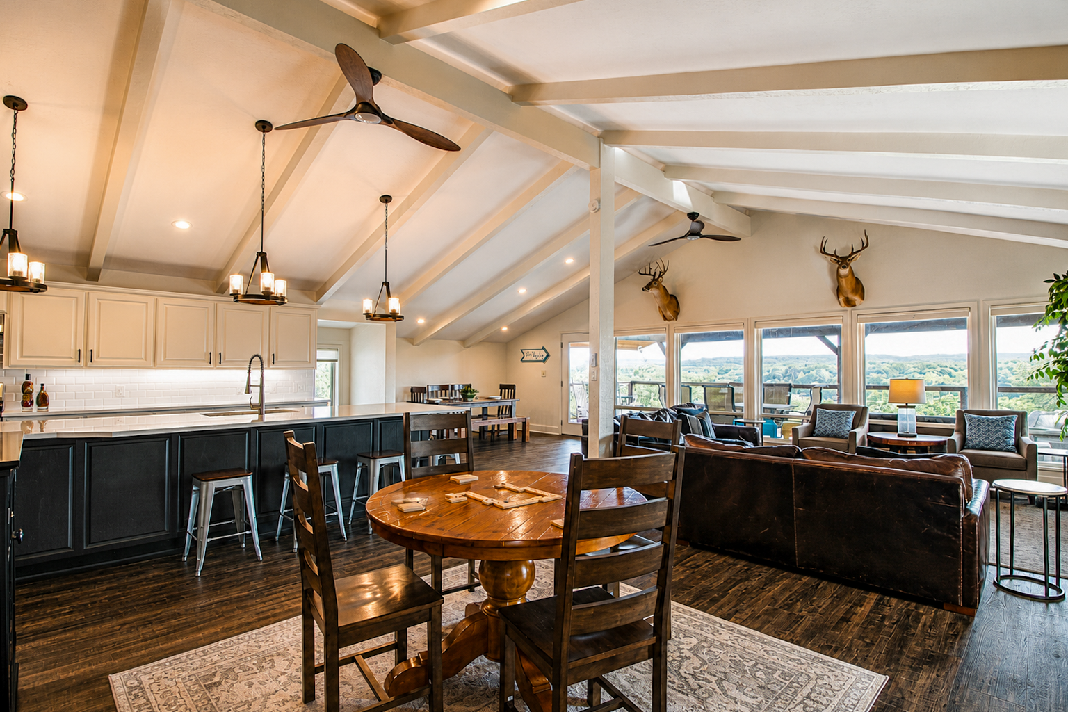
Residential Properties
- Single family homes
- Townhouses
- Condominiums
- Apartments
- Co-ops
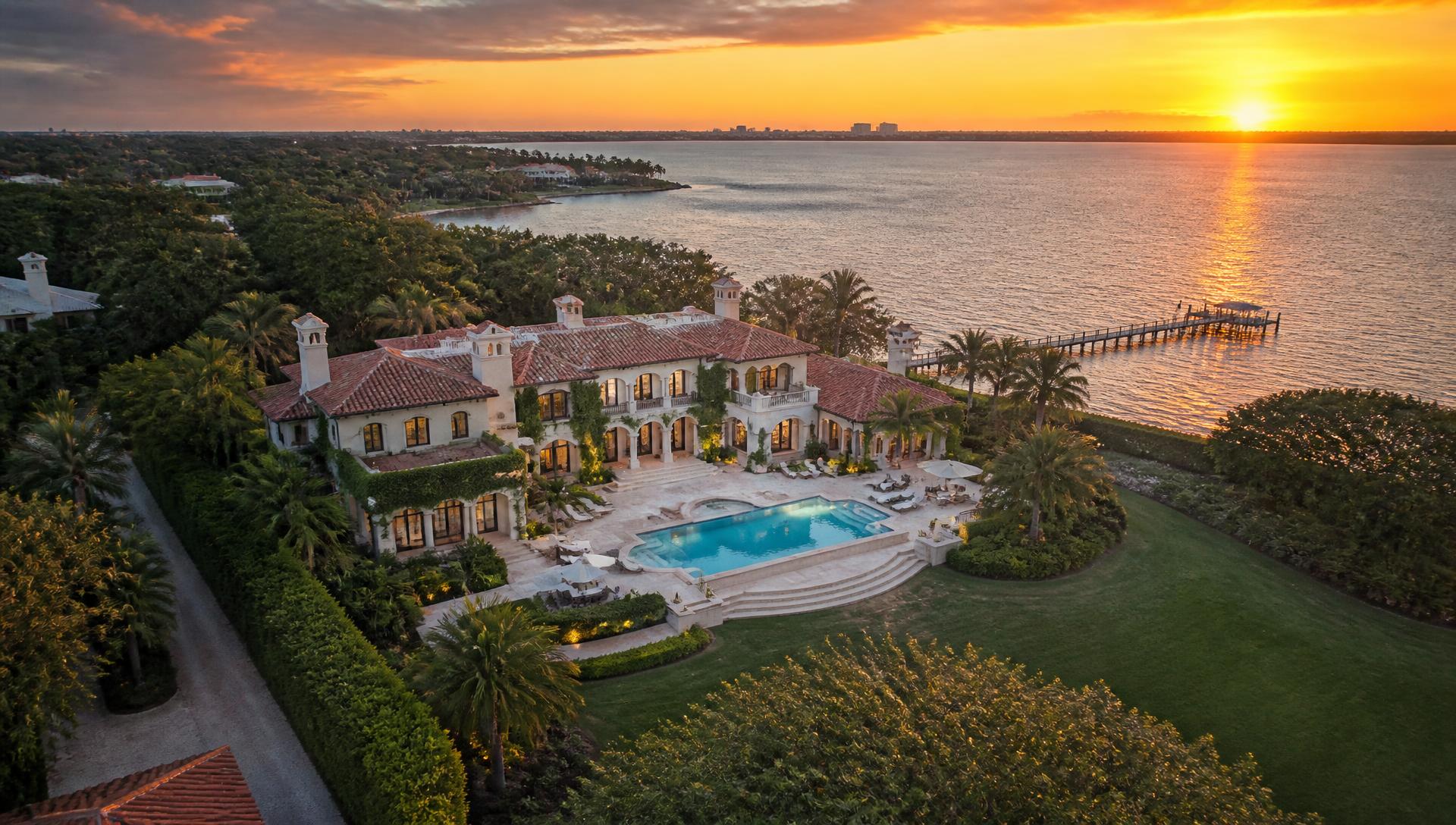
Stunning aerial images that capture and highlight your listing's full potential — the property, the lot and everything that makes the neighborhood worth moving to.
From $99 added to a scheduled session · $199 standalone
A home is so much more than a single building surrounded by a fence. It is part of a larger tapestry — the sidewalk cafés across the street, the manicured park a few steps away, the water at the end of the road.
Together these elements tell the story of the property. Aerial imagery gives buyers the complete picture of the home and its surroundings, helping listings sell faster.
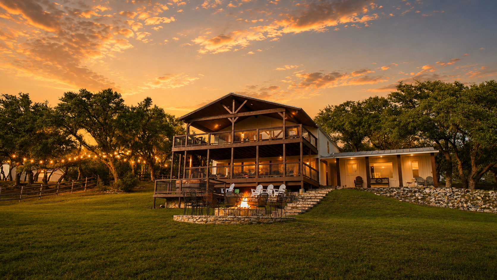
High-resolution panoramas, multi-angle stills and dynamic visuals from the sky. Drone services are subject to weather, airspace restrictions, location, safety conditions and the availability of a duly authorized pilot.
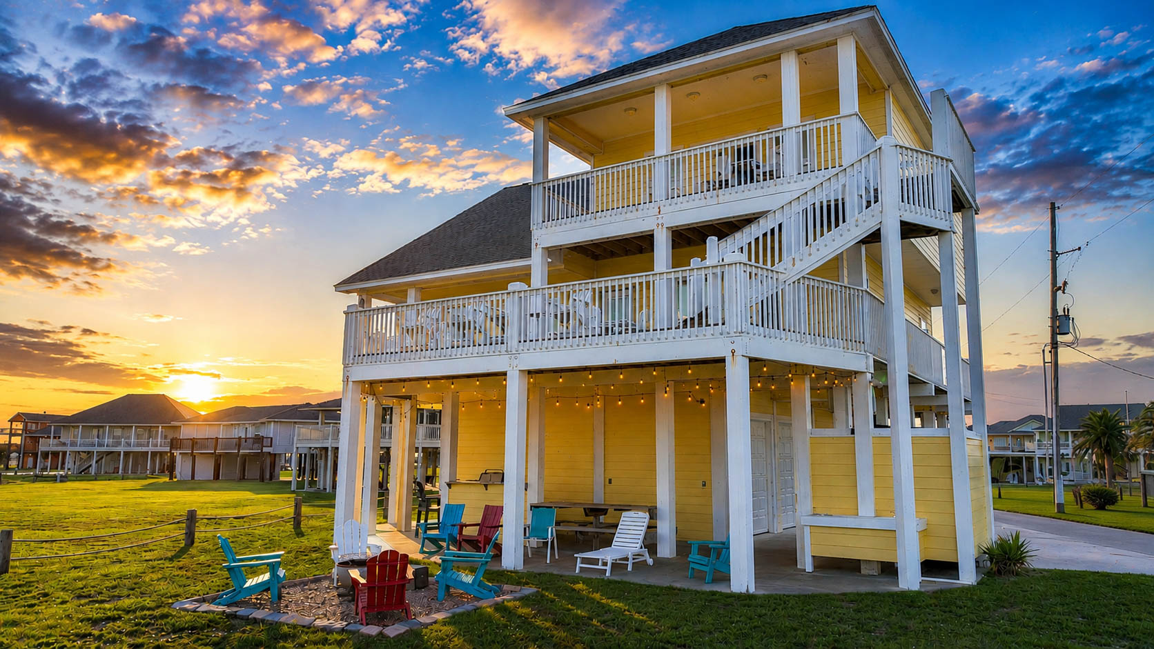
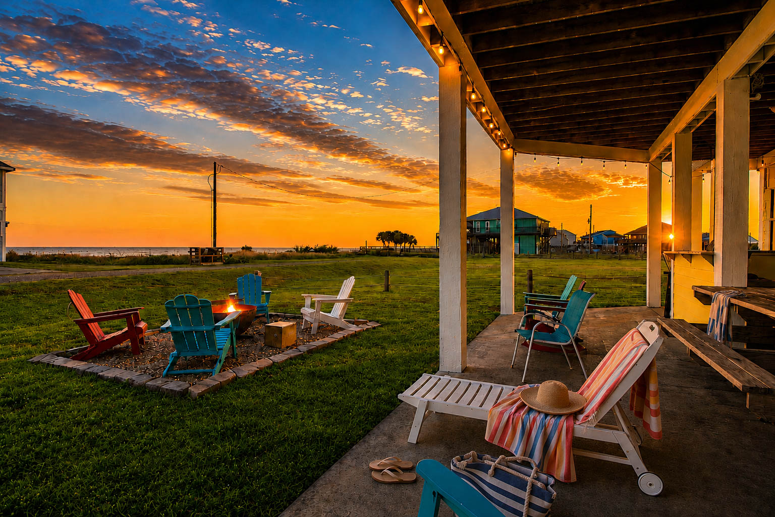
Once we are done flying, you own a polished set of professional sky shots that are sure to impress buyers, renters and investors.
Add another dimension to your residential listings with high-quality aerial photos. Showcase a brand new roof, highlight a unique waterfront perspective and show buyers exactly what is nearby.
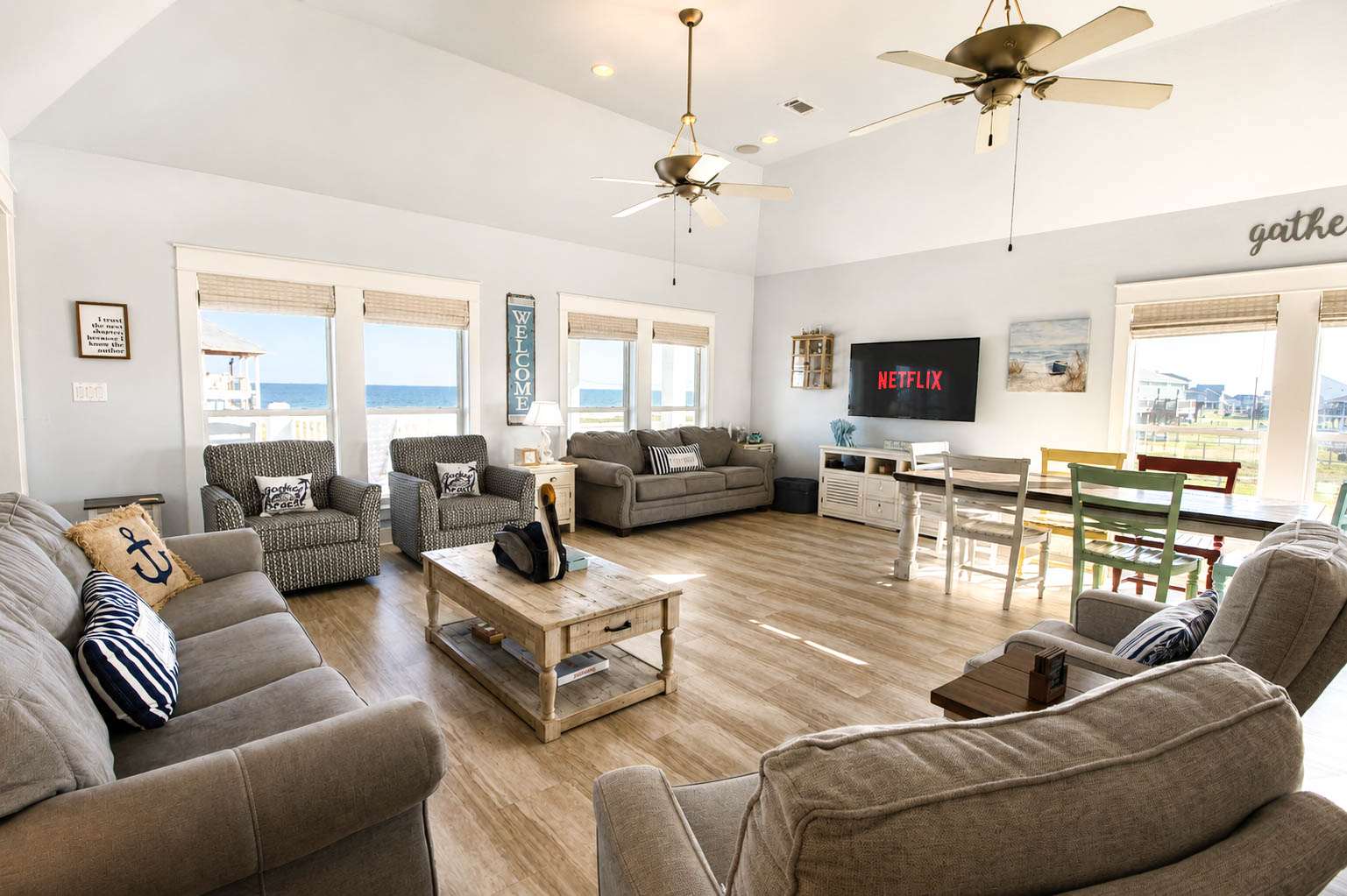
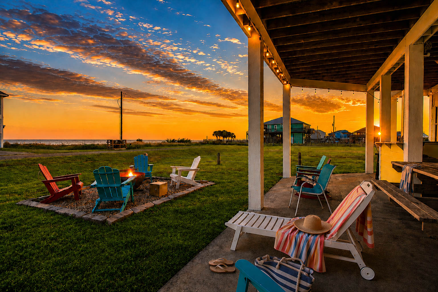
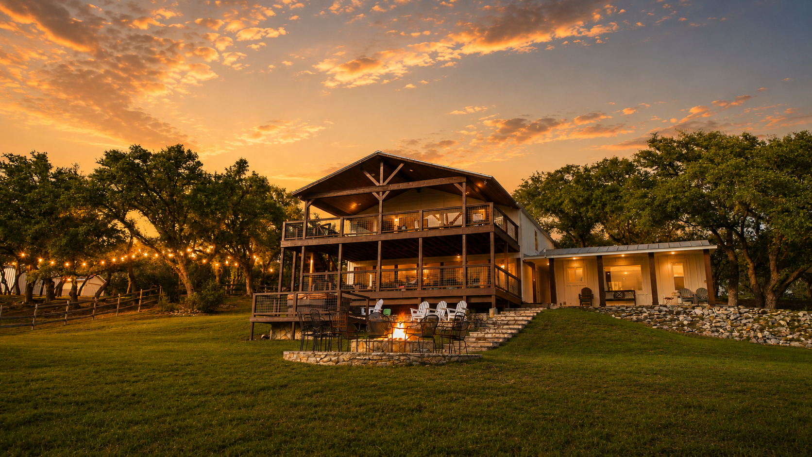
Whether you are selling an office building, leasing retail space or marketing any other commercial property, aerials show off the site, parking, access roads and surrounding traffic in a single frame.
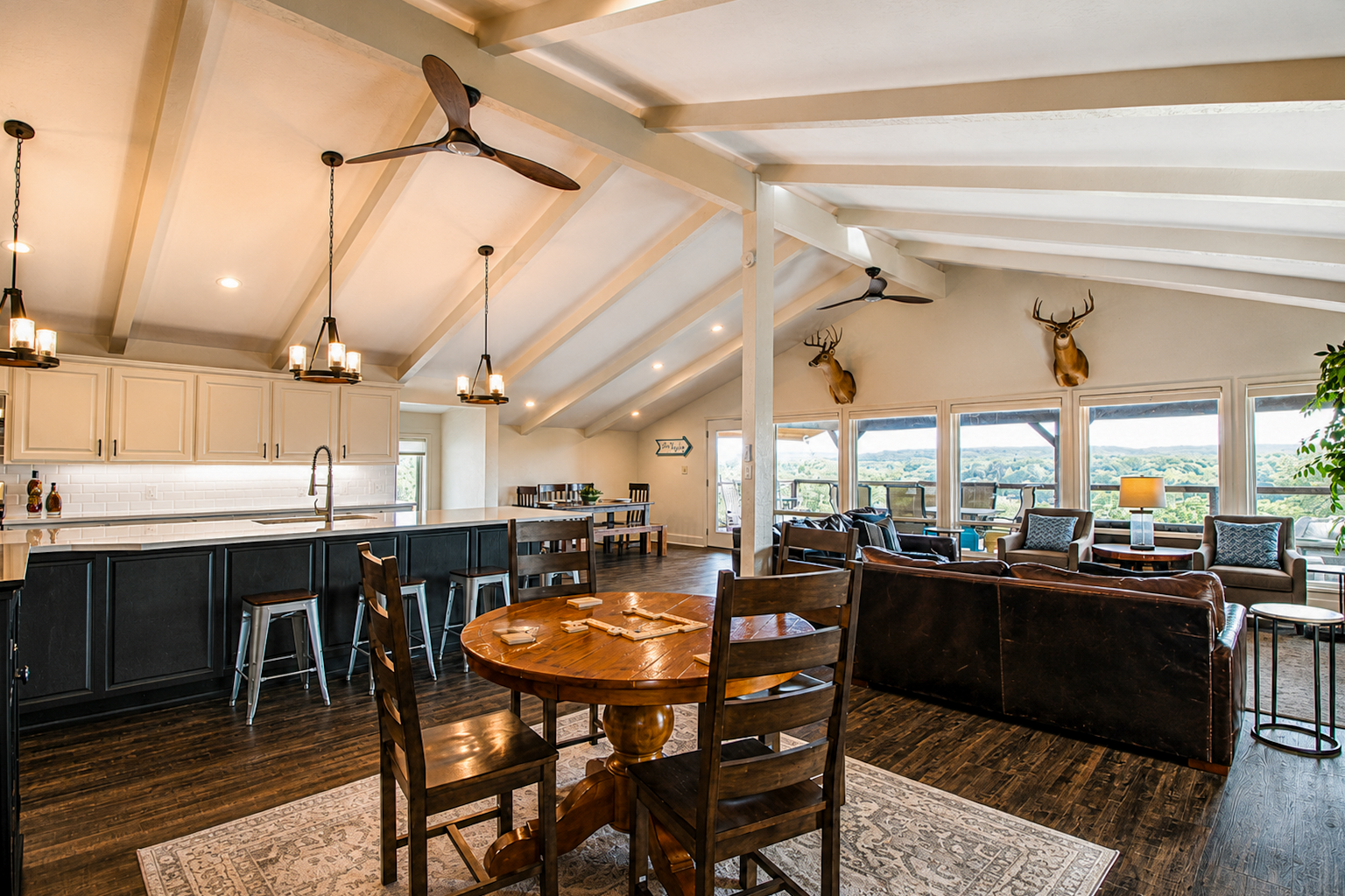
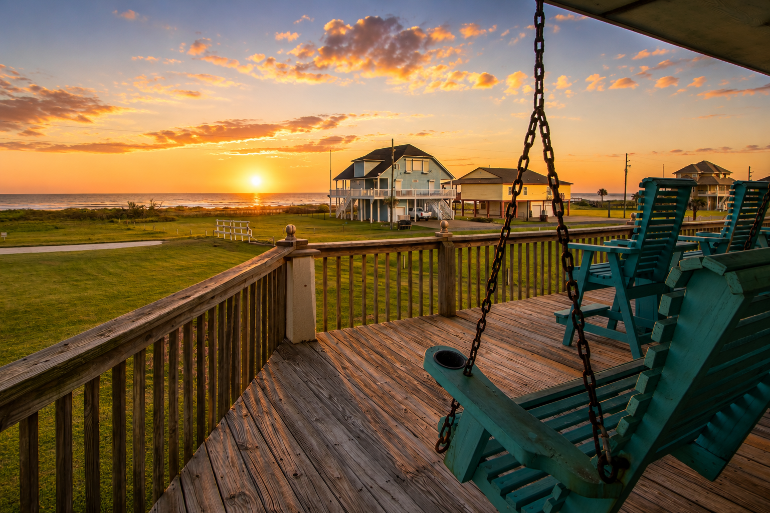
Selling land is about giving buyers a vision for the future. Our drones capture the lay of the land — sprawling acreage, an undeveloped tract or a small infill lot in the heart of the city.
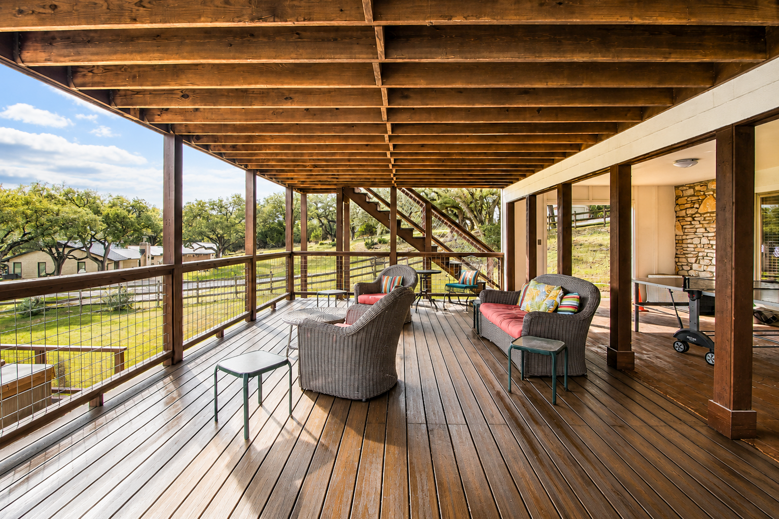
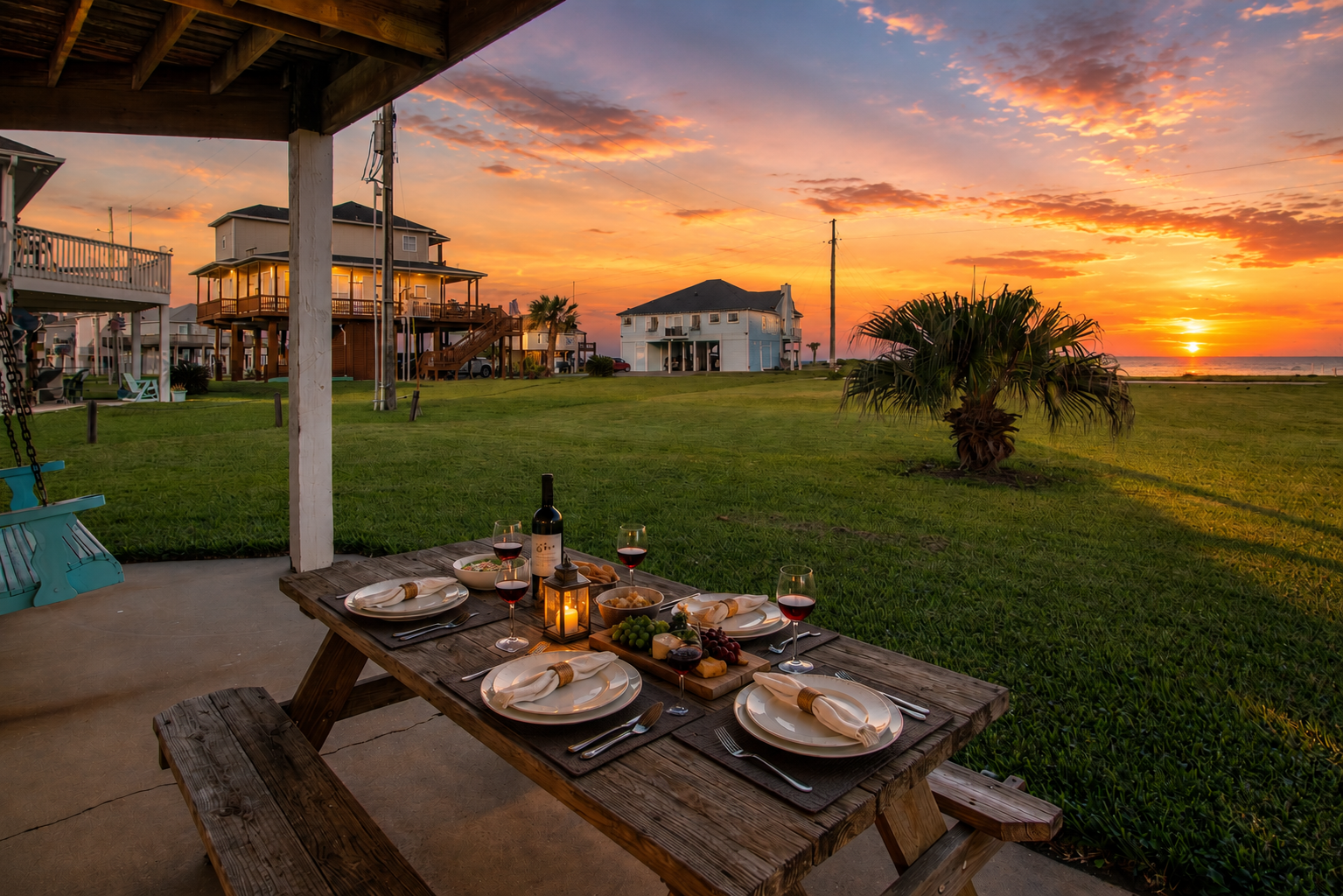
Buyers want to know what the neighborhood is like before they commit. A bird's-eye view gives context to the home's surroundings and shows everything the area has to offer.
Aerial photography starts at $99 when added to a scheduled session, or $199 as a standalone visit. Add an aerial video for a cinematic feel, or choose the complete package with interior and exterior photos, 10 aerial images and a drone video of the property.
$199
$299
Custom Quote
Whether it is a residential property or a commercial space, our growing network of aerial photographers knows your market at the local level — so your property and neighborhood are in good hands from the moment you book.
Aerial
Context, scale and surroundings
Confirmed
Timeline set before production
10
Aerial images
Aerial imagery gives buyers the context a ground-level photo cannot: lot boundaries, roofline, landscaping and the surrounding area. Lead your gallery from above and let buyers see the whole picture.
Subject to weather, airspace restrictions and pilot availability
Color-corrected, straightened, MLS-ready
Delivery timeline confirmed before production
Usage rights for the approved scope of the project
Aerial images captured by a drone flown by a duly authorized pilot. They reveal the property's full footprint, lot lines, roof, landscaping and the surrounding neighborhood — perspectives a ground camera simply cannot reach.
The standard aerial package includes 10 professionally edited HDR drone images shot from multiple altitudes and angles, delivered in high resolution for MLS, web, social and print.
Drone services are subject to weather, airspace restrictions, location, safety conditions and the availability of a duly authorized pilot.
Most residential and commercial areas are open for flight. Near airports or restricted airspace we request authorization in advance; if a flight cannot be approved we let you know immediately and suggest alternatives.
Drones need reasonable wind and visibility. If conditions are unsafe we reschedule the flight at no extra cost, usually within a day or two.
Yes. Choose Photos + Aerial Video for a cinematic 60-90 second drone edit, or the Complete Package to combine interiors, exteriors, aerial stills and video in one shoot.
We produce aerial photos and drone videos for any type of property. Contact us today to book your aerial photo shoot — from $99 as a same-shoot add-on.